University of Georgia 1930-1950
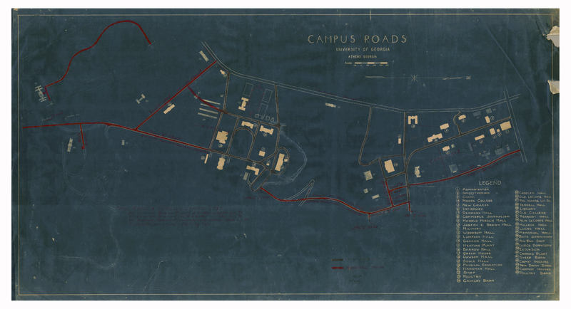
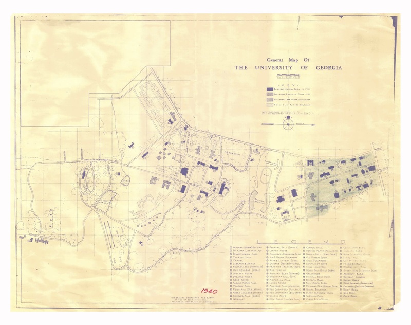
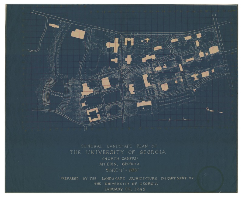
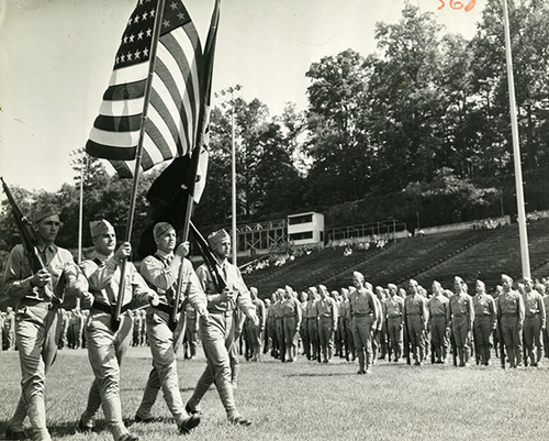
This page details changes in the layout of the campus of the University of Georgia between the years 1930-1950. In 1938, the University was well on their way with proposed expansions, and outlined in red new roads that they wanted to pave with asphalt in order to make the campus more accessible and easier to traverse. The campus by then was pretty spread out, but had a lot of open space as it had not yet constructed many building seen today. In the map created in 1940, it is apparent tha the university had undergone major changes, with newly paved roads and new buildings. Perhaps one of these new buildings detailed on the map is Sanford Stadium, the home of the University of Georgia football teams. The university also built on the space they had, with the legend showing a total of 67 buildings on campus, and bought more land to further its expansion. Between 1940 and 1945, due to the Second World War, much of the buildings on the University of Georgia’s campus had been surrendered to the United States Navy to be used as a pre-flight school to train new pilots. As a result, there does not seem to be much change to the campus, as the university had to delay any expansion or renovation plans until the war and the Navy were finished. While the map of 1945 does not show it, one major difference on campus was the names of the buildings, with the Navy renaming the buildings to the names of Navy ships no longer in service.


