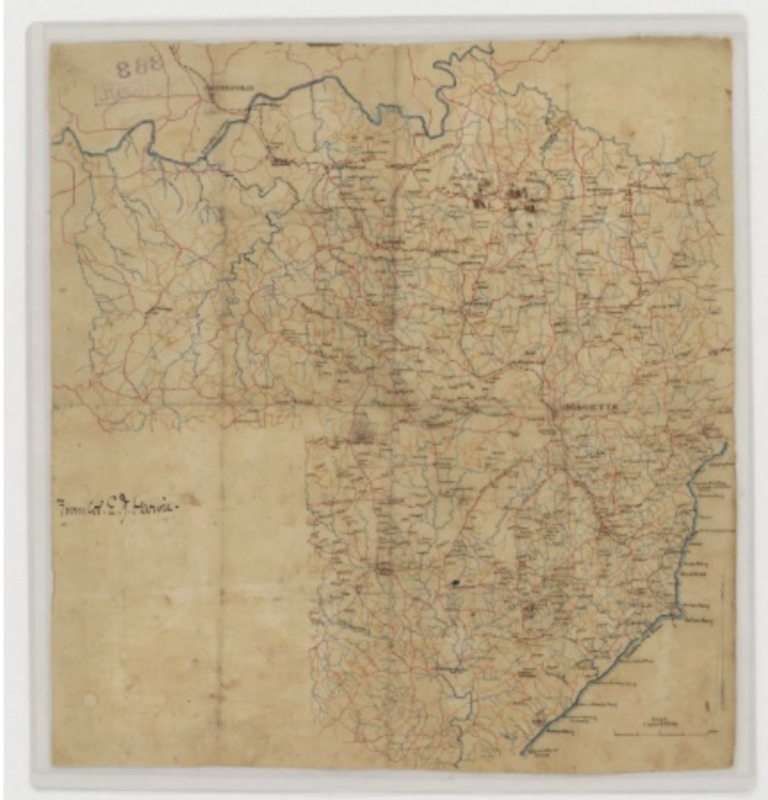
Map of Atlanta and Vicinity
This is a map of Atlanta and the surrounding area of northwest Georgia during the time of the Civil War, around 1864. The city of Atlanta was vital for the Confederacy because Atlanta at that time was a major railroad hub, with tracks going in virtually every direction from Atlanta. In fact, Atlanta was given the nickname Terminus because it was a major center of transportation. Think of Atlanta in 1864 as the Civil War version of today’s Atlanta’s Hartsfield-Jackson International Airport. That’s how important Atlanta was to the Confederacy back in that time. Atlanta was the key to the South’s success in the Civil War. Every essential war item that had to be transported from one side of the South to the other had to either start in Atlanta, or go through it. Although Atlanta was important to the Confederacy, so was the area surrounding it. The northwest part of Georgia was a buffer to help keep the Union from capturing Atlanta, or worse, destroying it. Northwest Georgia was built up with fortifications and army camps in order to thwart any Union attempt to capture the valuable city of Atlanta. Such attempts were not enough, as in late summer of 1864, General William Sherman went straight through those fortifications and burned down Atlanta. Sherman didn’t stop there though, as he burned a path straight from Atlanta down to Savannah, which is now infamously called Sherman’s March to the Sea. The fall of Atlanta helped lead to the South’s eventually loss in the Civil War.
Source: “Atlanta and Vicinity.” Atlanta and Vicinity, UniversalMAP
